
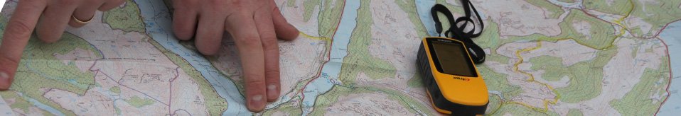


Survey and Map
The Hidden Heritage project aimed to identify as many historical features as possible, from any historical period, on the isthmus of land connecting Arrochar and Tarbet.
Archaeologists from Northlight Heritage, together with volunteers, surveyed the landscape using different techniques:
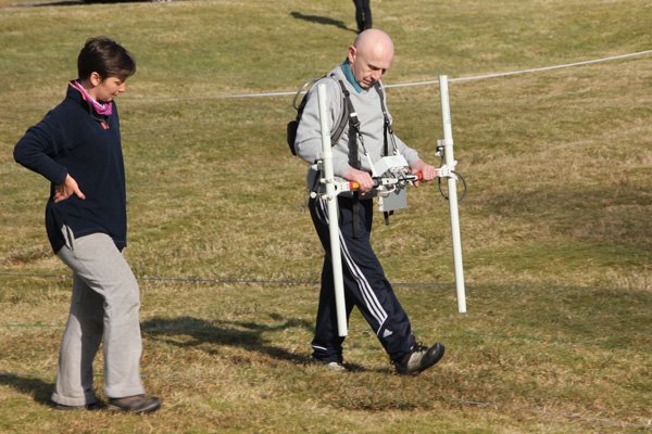
Geophysical survey: Thanks to Glasgow University for the loan of equipment and a skilled person, we surveyed 4 sites using magnetometry and resistivity techniques. Click here to download the results.
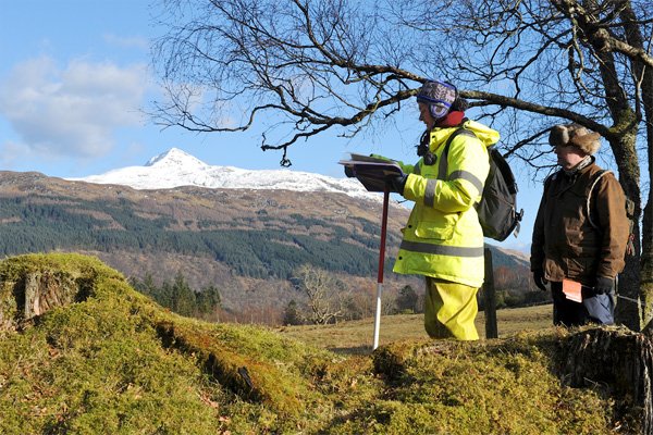
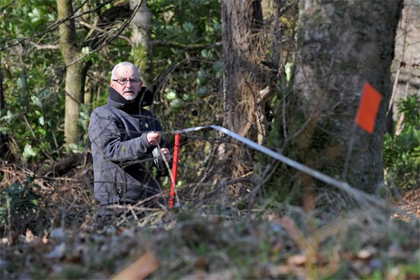
Walkover survey: This labour-intensive technique can be great fun in good weather, but less so in horizontal snow… Thanks to a dedicated bunch of volunteers, we covered most corners of the isthmus in March and April, 2013, and identified a total of 198 features, many not recorded on existing Ordnance Survey maps. Please visit our Gallery for images from the walkover survey.
GIS: The results of the walkover survey have been incorporated into a GIS-based map, which shows the new sites, as well as already-known sites in the area. The layout of this map makes it possible to look at changes in land use and the landscape over time, or to look at specific types of features from different periods. We have uploaded some sample images from this map, and the complete GIS map will be available to view in the Three Villages Hall, Arrochar, after the end of the project. New sites can continue to be added to this map as they are discovered!
Digital survey: A few sites were surveyed in more detail in late April, 2013, using highly accurate electronic equipment.
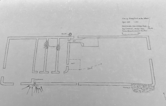
Plane table survey: Volunteers were shown how to use a plane table and alidade to record archaeological features. This low-tech and inexpensive technique produces accurate scale plans, and is a great way to map small areas. Click here for the preliminary plan of this quite complex sheep fank.
School children from local primary and secondary schools took part in surveying and mapping. Click here to read more.
Heather James (Calluna Archaeology), funded by Clan MacFarlane Worldwide, has since carried out a wider survey of the lands once held by the Clan MacFarlane. Check out the results here.
Blog
Click on the link here to check out our Facebook page.
Events
Click here to find out about forthcoming events and how to get involved.
Timeline
Click here to see our timeline of events.
Location
Click here to find out where the Hidden Heritage Project is taking place.
Contact Us
Click here for our contact details.


