

Landscape Interpretation
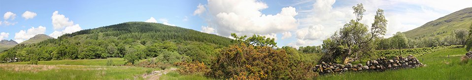
The Hidden Heritage Project has focused on the use of the whole of the landscape between Arrochar and Tarbet.
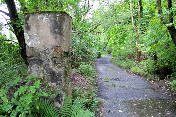
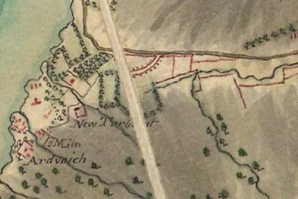
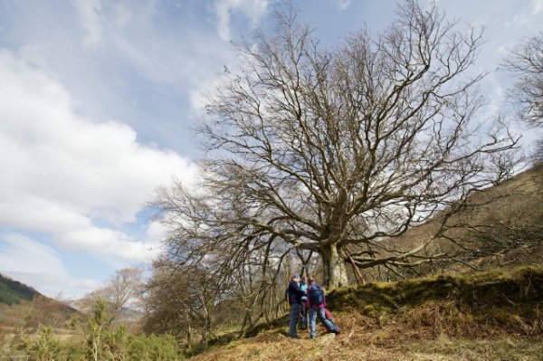
During the walkover surveys in March, we identified some beautiful big trees growing on top of old banks south of the A83, near Arrochar. Lots of these were beech trees, which aren't common in this area. This, together with the fact that the banks seemed to follow the lines of ones marked on Roy's map from 1750, made us wonder if the actual trees themselves were the same as those marked on Roy's map.
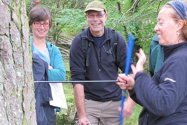
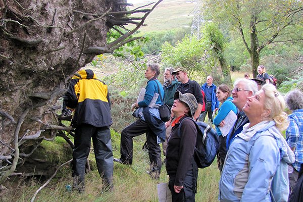
The environmental archaeologist and dendrochronologist, Coralie Mills, came and gave a fascinating talk on the things we can learn from studying trees, both those in the landscape, and ones that have been felled and used in buildings. Careful examination of the ring patterns of the wood can tell us not only when they were growing and how old they were when they were cut down, but also where they came from.
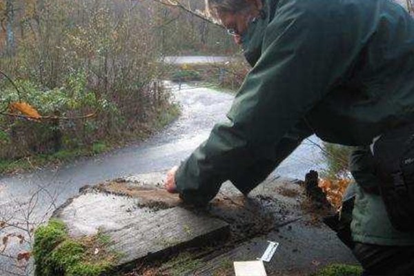
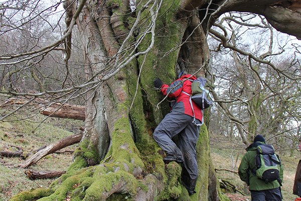
Coralie took volunteers on a guided walk around the old woodland behind the Claymore Hotel - once Inverioch House, seat of the McFarlanes - and traced on the ground signs of an old plantation probably planted when the house was built in the early 1700s. We further explored the banks and beech trees behind the Fire Station in Arrochar, and Coralie took 'cores' from one of the beech trees and from a Scots Pine. (Don't worry - coring living trees doesn't damage them - they produce lots of resin to fill the hole).
Based on the tree-ring data, it seems likely that the Scots Pine was planted as a young sapling in the late 1750s to 1760s, within an enclosed and protected plantation, as indicated on the map drawn for the proposed canal in 1821. It had apparently not been planted when Roy's Military Survey (see left) was drawn up around 1750, in-keeping with his depiction of tree-lined banks, but no trees within the enclosed area.
The beech tree was more difficult to date, but is unlikely to have been planted before 1760, and may well have been planted during the same phase of planting as the Scots Pine. Although it cannot therefore be one of the trees marked on Roy's map, it seems very likely that it was added to fill in gaps in that boundary in the later 1700s.
This date for the beech tree conclusively dates the bank on which it was growing to earlier than 1760, making it extremely likely that it is part of the pattern of tree-lined banks shown on Roy's map. Click here to download a copy of the full report on the woodland heritage and tree-ring investigations.
We're hugely grateful to D-J Johnson Smith for passing on this extract from a letter written in 1735, from Walter MacFarlane to Mungo Graeme thanking him for his "...kind offer of giving me some firs, I shall send for them very soon; and I should reckon myself very much oblidged to you if you could spare me any other kind of barren trees, especially a hundred or two of beech, for I have one side of ane avenue already planted with them but cannot get so many as will finish the other side, I know this is your favourite timber, and therefore I shall not insist any further; but gratefully accept what other barren timber you can conveniently spare."
Apparently 'fir' was the term once used for pines, while 'barren' referred to trees other than oak - oak being the most valuable timber used for building. The 'avenue' referred to in the above quote may well be the current 'Back Road' ('Church Road') leading into Arrochar. Isn't it satisfying when the old maps, old documents and what you can still see today all match so beautifully??
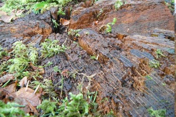
Following on from Dr. Mills' investigations, volunteers Katherine Pricer and Pete Whyatt undertook to date some of the tree stumps lining Church Road to see if there was any evidence to tie them in with the beech avenue reportedly planted by Walter McFarlane in the 18th century. The largest datable stump was on the north side of the road, and examination of the tree rings gave an age at felling of 155 years. Other stumps along the road were too badly rotted to allow the rings to be counted, but they generally appeared to be smaller (and so probably younger). The oldest datable stump within the plantation was of an oak, which gave an age at felling of 118 years. Although larger stumps were present here, they were also too badly decayed to allow accurate dating. Unfortunately, we don't currently have any record of when these trees were felled, so can only say that they were planted sometime before 1858 and 1895, respectively. Click here to download Katherine and Pete's full report.
Blog
Click on the link here to check out our Facebook page.
Events
Click here to find out about forthcoming events and how to get involved.
Timeline
Click here to see our timeline of events.
Location
Click here to find out where the Hidden Heritage Project is taking place.
Contact Us
Click here for our contact details.