

Survey
An important part of the Hidden Heritage Project involved identifying and recording any new heritage features in the landscape and adding them to a searchable map, created using GIS (geographic information system) technology. The free software we have used to create the map is called Quantum GIS and can be downloaded here. The complete GIS database will be made available at the Three Villages Hall, and some sample images will be available here soon.
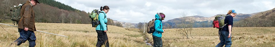
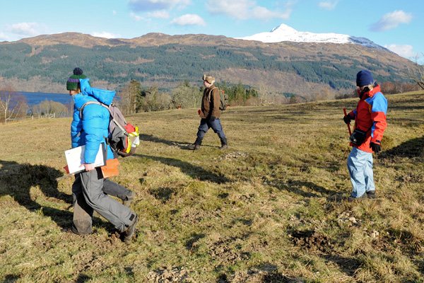
Volunteers walked the entire isthmus between Arrochar and Tarbet, and recorded the location of any man-made features using a GPS.
A few areas were surveyed in more detail using other techniques, including geophysics. Click here for the geophysics results.
The old sheep fank near the railway line was surveyed using a plane table. Click here to see the plan.
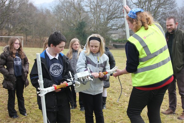
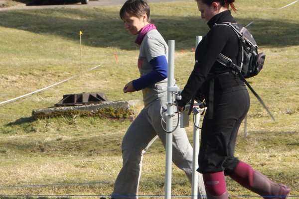
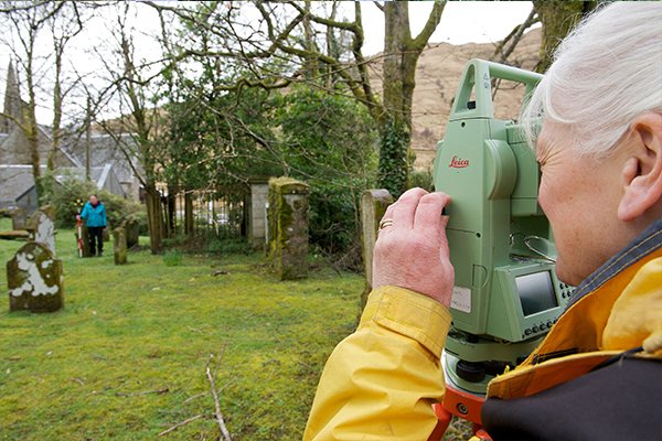
The positions of all the gravestones in Ballyhennan graveyard were recorded using a 'total station'. Click here to see the results.
Blog
Click on the link here to check out our Facebook page.
Events
Click here to find out about forthcoming events and how to get involved.
Timeline
Click here to see our timeline of events.
Location
Click here to find out where the Hidden Heritage Project is taking place.
Contact Us
Click here for our contact details.