1st ed OS Ardlui to ArdleishYle Eunlich (photo Mitchell Fotheringham)boarding the ferrybridge requireddig teamhappy dig directordrone's eye view (photo Mitchell Fotheringham)team day 1investigating the floor layers

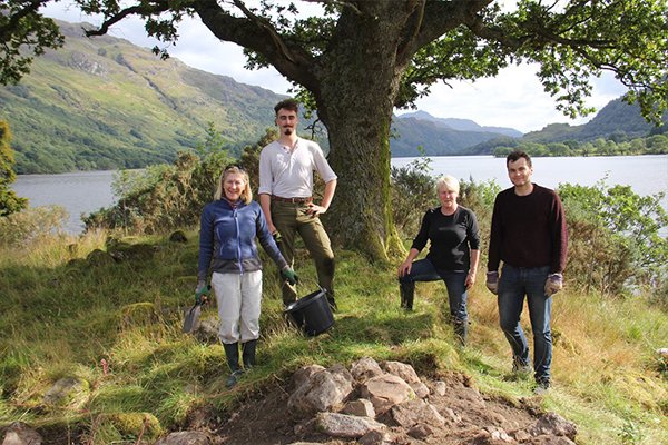
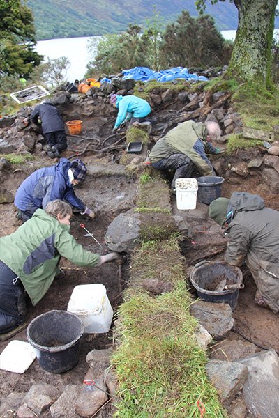
Ardleish Excavations

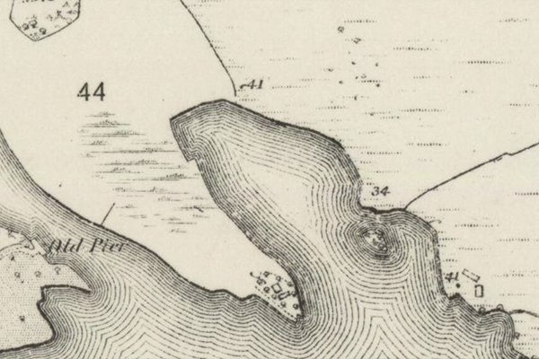
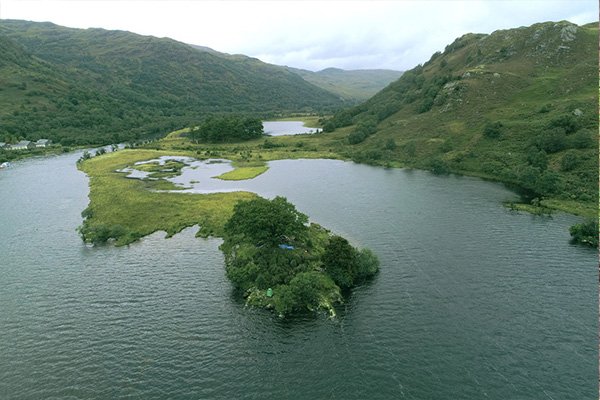
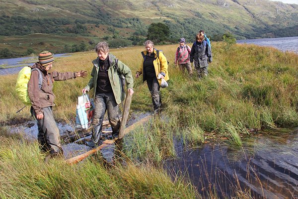
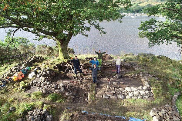
At the very northern end of Loch Lomond is a promontory of land, which effectively becomes an island after prolonged or heavy rain.  The 1st ed. OS map (left) shows the obvious remains of 2 buildings on the promontory. Interestingly, Timothy Pont's map (around 1596) marks 'Ylen Eunlich' here, and the notes accompanying the maps say "...hard upon the head of the Loch is Ylen Eaunlich of a flight shot long, with a dwelling upon it, ...". This suggests that the current remains might date to at least the 16th century, or might overlie older remains from that period.

(The notes are published in A. Mitchell (ed.), Geographical Collections Relating to Scotland made by Walter Macfarlane (Scottish History Society, Edinburgh, 1907), Volume 2.)
 
Place name expert Dr. Simon Taylor from Glasgow University suggested that the name 'Eunlich' might be related to the Gaelic word 'eun', meaning bird, as in the modern Gaelic word  'eunlach', defined as ‘fowls about a house'. The marshy nature of the area and abundance of ducks might support this interpretation.
 
We're delighted that Clan Macfarlane Worldwide (CMW) funded an excavation of the site, managed by archaeologist Heather James (Calluna Archaeology), in September 2018, and have allowed us to share the report of this investigation here.
 
Following that excavation, CMW funded a further investigation, this time of the deserted settlement of Ardleish on the NE shore of Loch Lomond, in 2019 and 2021, to determine if this site might have succeeded the medieval site of Ylen Eunlich, which is thought to have been abandoned in the 16th century. Download the excavation report here.