


Hidden Heritage Excavations
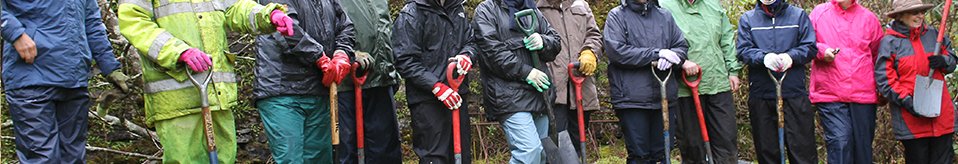
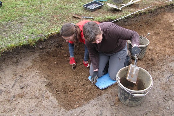
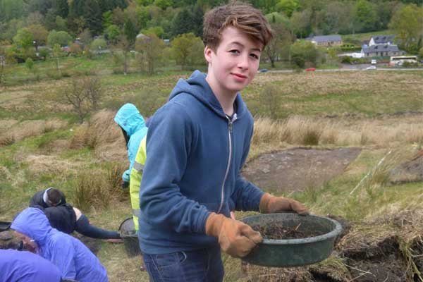
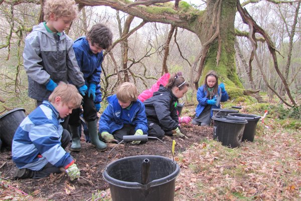
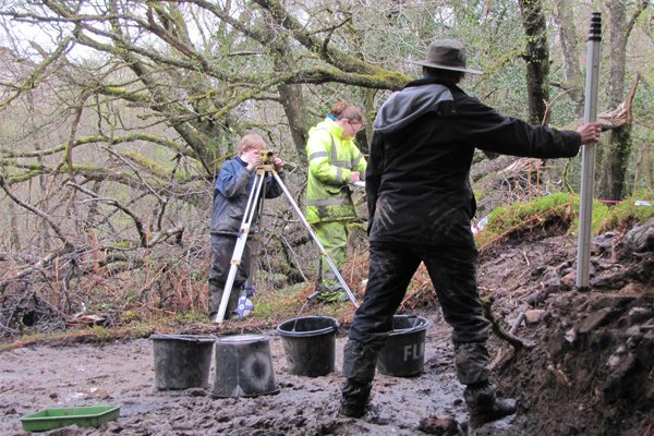
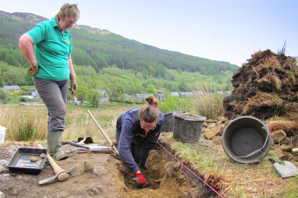
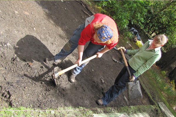
Archaeological excavation formed a major part of the Hidden Heritage Project. Supervised by archaeologists from Northlight Heritage, volunteers excavated several different sites across the isthmus of land between Arrochar and Tarbet. See below for a very brief summary of the sites.
The full report of the excavations is available to read/download HERE!
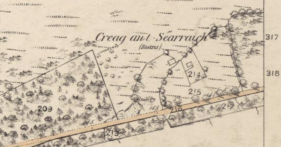
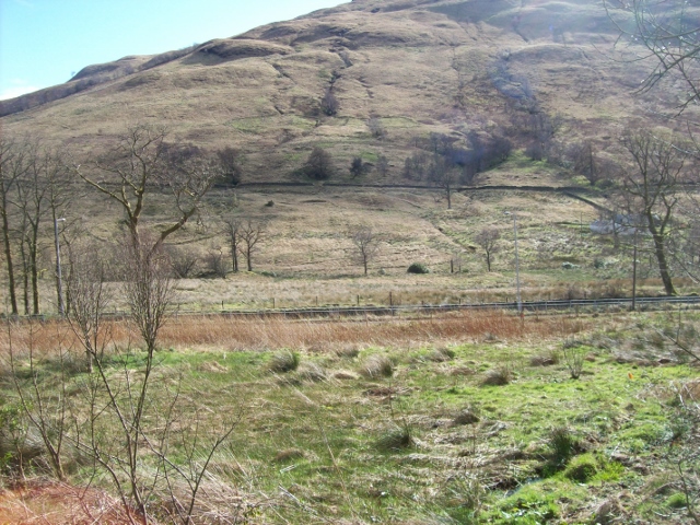
Craggantarrich (Creag an’t Searraich): 'the place of the colt/foal' - a deserted rural settlement in a wooded area north of the main road. We don't know when this settlement was first inhabited, but we know from maps and documents that it was there in 1777 and had been abandoned by 1840. The results of the walkover survey suggest that there were more buildings than indicated on the 1st edition Ordnance Survey map. The Helensburgh Advertiser spent the day with The Hidden Heritage team on the isthmus between Arrochar and Tarbet to find out more about the site of Creag an't Searraich. Watch the video to find out more: http://youtu.be/JqnnpG9sqNo .
Results suggest archaeological evidence of farming activity in the form of field boundaries and rig and furrow, and human occupation in the form of pottery and glass objects dating back to the 1800s and possibly beyond.
Clattochmore: Old documents tell us that the chief of the Clan MacFarlane lived in a house at ‘Cladach Mor’ in the 16th century, though the exact site of the dwelling is unknown. There were signs of possible walls in the garden of a private house in Tarbet, near the playing field. Check out the record in Canmore for more information.
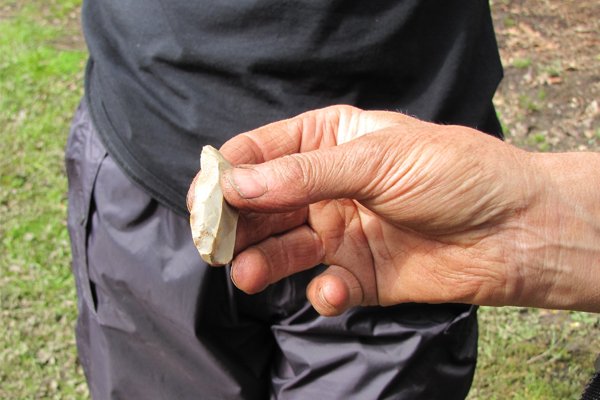
Results suggest no archaeological evidence for this elusive 'dwelling', although resources and time restricted further excavation. However we were delighted to unearth surprise evidence of prehistoric activity in the playing field in the form of flint tools and knapping debitage or debris; check out theGallery for some photos. An extra week of excavation produced more than we could have hoped for - at least 40 more flint flakes (some worked), a musket ball and an amber bead. These finds are discussed in the Final Report.
Stuckiedhu (the 'jelly bean'): The rather irreverent name for this site reflects the overall shape of the complicated series of banks and ditches in the middle of the isthmus, opposite the ex-Ballyhennan Free Church. A prominent circular part of the complex is the source of lots of local stories. Walkover survey identified more banks above the 'water track' and it may be that the whole complex forms the remains of a pre-Improvement settlement.
Preliminary results suggest, among other things, archaeological evidence of a boundary wall surrounding a natural rock outcrop. It was built with stone and earth or turf. The formation of the boundary suggests it was used to keep animals out, rather than to keep animals inside. Within the boundary various artefacts of mixed dates including pottery and flint were recovered, indicating some kind of human activity within the walls. In fact, some lovely sherds of mid-18th century Scottish white salt-glazed stoneware were found here along with remnants from a possibly rare, pale blue tin-glazed earthenware cup and saucer. Details in the Final Report.
'Mounds': We also briefly investigated the unusual-shaped mound near the war memorial, which has been associated with the Vikings in local folklore, as well as some unexplained smaller mounds.
Results suggest that these mounds are natural.
Blog
Click on the link here to check out our Facebook page.
Events
Click here to find out about forthcoming events and how to get involved.
Timeline
Click here to see our timeline of events.
Location
Click here to find out where the Hidden Heritage Project is taking place.
Contact Us
Click here for our contact details.


